Following more than two years of construction, a scenic trail project that puts patrons uniquely close to nature is set to officially debut north of Atlanta.
The PATH Foundation has scheduled a ribbon-cutting ceremony next Friday, May 2, for what’s called the Sandy Springs Springway Trail Phase 2A.
The “picturesque” project spans 1.88 miles, providing access to the Chattahoochee River and an off-street connection between Morgan Falls Overlook Park and the point where Roswell Road meets Cimarron Way. That’s about five miles north of Sandy Springs City Center.
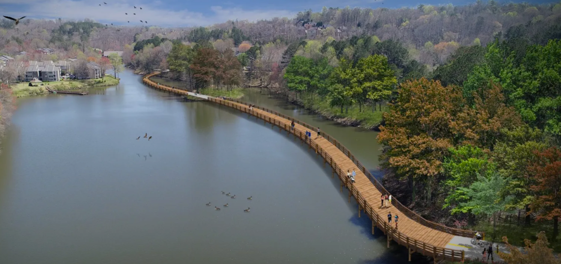
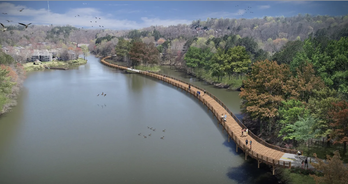 Boardwalk section of the Sandy Springs Springway Trail Phase 2A that passes over Orkin Lake. PATH Foundation
 The Springway Trail project's location, in relation to Atlanta and other north OTP landmarks. Google Maps
Included in this phase of the Springway Trail is an eight to 12-foot-wide multiuse, paved pathway, along with pedestrian bridges, roadway realignments, landscaping, and trail signage, according to PATH Foundation officials.
But the highlight has to be a sweeping boardwalk structure across Orkin Lake, situated just east of the Chattahoochee.
Construction on the project—a team effort by the City of Sandy Springs, Georgia Department of Natural Resources, Georgia Outdoor Stewardship Program, PATH Foundation, and the Sandy Springs Conservancy—began in late 2022. It’s the first segment of a much larger web of trails eventually planned for the area.
According to PATH Foundation officials, the project cost $8.5 million and was partially covered by a $3 million Georgia Outdoor Stewardship Program Grant.
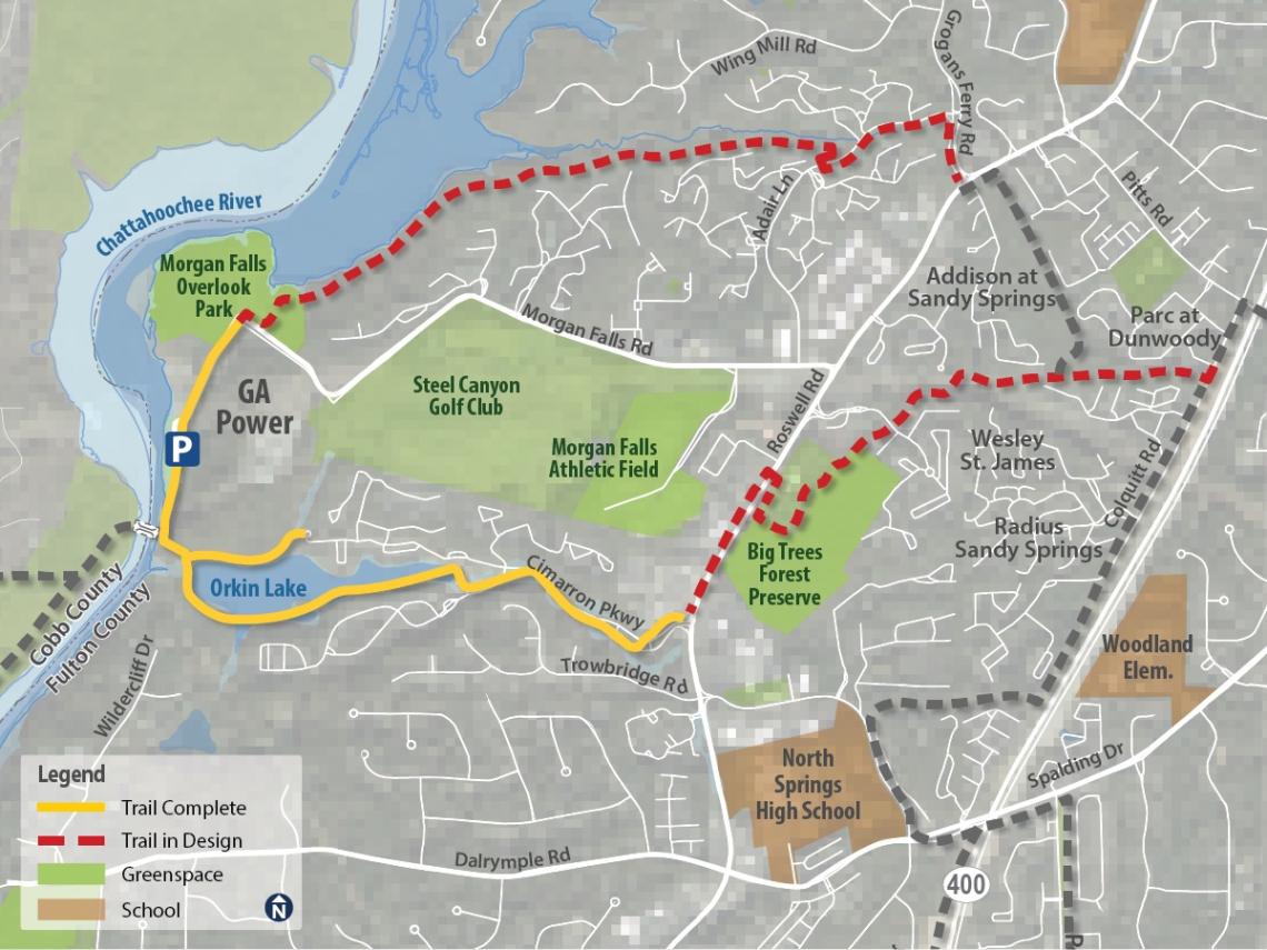 How the Sandy Springs Springway Trail Phase 2A (in solid yellow) relates to the rest of the network. PATH Foundation
...
Follow us on social media:
Twitter / Facebook/and now: Instagram
• Sandy Springs news, discussion (Urbanize Atlanta)