Atlanta might be lagging in things like economic equality and progressive transportation modes, but we sure know how to rally around seemingly far-fetched, massively expensive hypotheticals.
The 100th anniversary of the Olympic Games? Check. The world’s busiest airport? Old news. A giant ring of parks, trails, and transit encircling the city? Getting there.
So it’s only natural that an evolving city with a population expected to almost triple by 2050 would seek inventive ways to create more greenspace. What better place to build new parks than the thin air over gaping, roaring highways, right?
Like other cities around the world, Atlanta's caught the bug for highway-capping park proposals in recent years. The ITP concepts span from Buckhead’s HUB404, to downtown’s 14-acre Stitch, and the Memorial Drive Greenway concept finalized in 2017. The latest proposal—and most grandiose of them all—emerged this week with early plans for a 25-acre “Midtown Connector” park, linking 10th Street to North Avenue, and Georgia Tech to the rest of Midtown.
All of them would be expensive, complex endeavors—enough to make an average taxpayer’s head spin. But if Dallas and Columbus, Ohio can pull off dynamic urban spaces over highways, why not ATL?
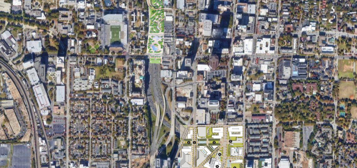
Luckily, with the help of a highly engaged Urbanize Atlanta reader, we have a convenient way to visualize what it all could look like, in the unlikely event this all gets built while we’re alive.
The reader, who asks to remain anonymous, has provided a compilation of satellite imagery and project renderings that lends an idea how Atlanta could change—and how it might function—should these dozens of acres of greenspaces, infrastructural components, and related developments materialize over the Connector. (It also includes the old Central Atlanta Progress Green Line concept, because why not?)
Buckhead’s HUB404 concept, which has created a heavyweight leadership board, corporate backing, and a renewed fundraising campaign, is a bit too far north for this hypothetical map. So let’s first revisit what that could look like:
 Despite ballpark cost estimates exceeding $200 million, HUB404 board leaders were confident the park over Ga. Highway 400 would open by 2025, prior to the pandemic. On the bright side, fundraising efforts have now resumed. HUB404
And now, without further ado, here's a city reimagined by (hugely expensive and totally unfunded) parks over interstate lanes and dead urban spaces, from 10th Street to the Gulch and Memorial Drive:
 Credit: Anonymous; base image, Google Maps; others, MCP Foundation, Stitch; Central Atlanta Progress
• Glorious 10-block park floated for capping Atlanta's main highway (Urbanize Atlanta)
• Fundraising for Buckhead’s highway-capping HUB404 park will resume (Reporter Newspapers)